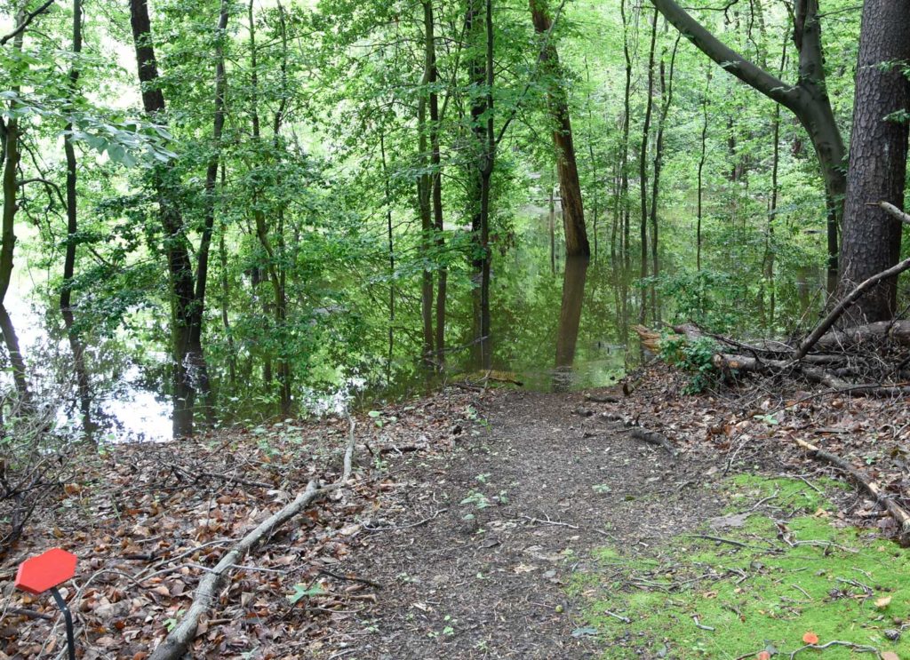
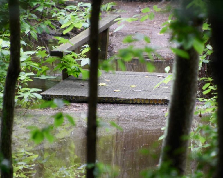
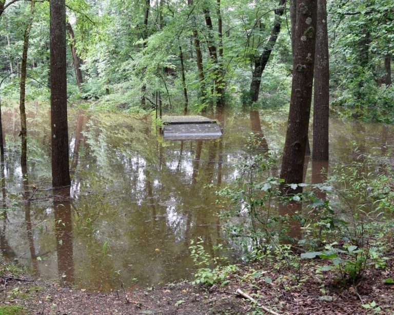
On the night of June 19, after an already wet week, the Lumberton/Medford area received around 5 inches of rain in one storm. Nearby areas upstream in Pemberton, Medford Lakes and Tabernacle received equal or larger rainfall amounts. On June 20 the town of Lumberton was evacuated and Main St. (Route 541) was closed.
Robert Koch reported: “I went down on the trails around 1 PM and the water level is the highest I’ve ever seen here. Almost all of the Kay Dee Trail is flooded out and the Holly Trail from the canoe launch area to the Water View Trail is under water and edging up onto the embankment below the perimeter path. The Rancocas Trail is passable until you get just past where the Kay Dee Trail comes back to intersect it. A small section of the trail is underwater and unless you want to wade through you can’t access the rest of the trail down to the creek. Actually, the bridge section would not be passable anyway.”


